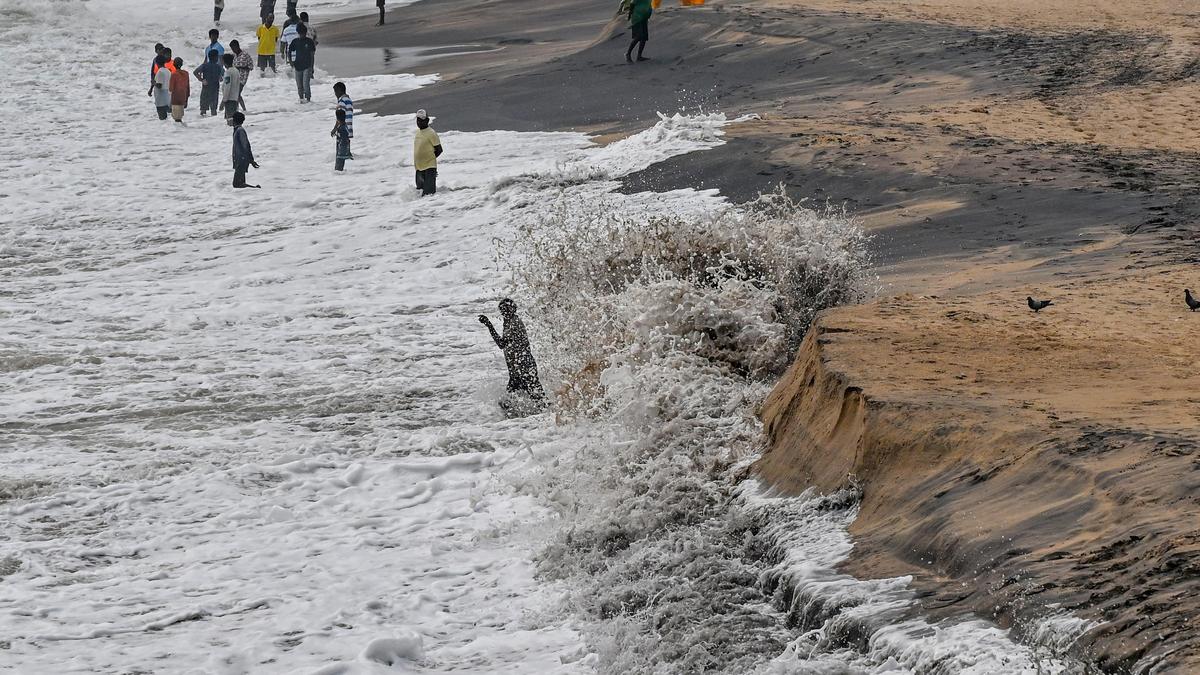
Coastal erosion is steadily eating into Andhra Pradesh's shoreline, with a retired Andhra University professor recalling that reaching the sea from Visakhapatnam's Beach Road in the early 1960s meant walking half a kilometre over high dunes, while today stretches of that road face the waves directly. The Shoreline Change Atlas of Andhra Pradesh, published in February 2024 by the National Centre for Coastal Research (NCCR) under the Union Ministry of Earth Sciences, mapped 1,027.58 km of the State's coastline using satellite imagery from 1990 to 2022. It found that 31 per cent (318.96 km) is eroding, 24.9 per cent is stable and 44 per cent is gaining sand, with about 91.6 km in the "high erosion" category, losing more than five metres a year.
According to the atlas, the losses are concentrated in the delta districts. Kakinada has 52.8 per cent of its coast eroding, followed by West Godavari at 52.5 per cent and Krishna at 43.8 per cent. Visakhapatnam district lies in between: of its 70.61 km of coast, 25.9 per cent is eroding, mostly at 0.5 m to 3 m a year, 51.3 per cent is stable and 22.8 per cent is gaining sand. The district map identifies one erosion hotspot at Pedanagamayyapalem near Bheemunipatnam.
The effects are visible along Visakhapatnam's Beach Road. Earlier this month, the seaward edge of the road near the INS Kursura Submarine Museum had been cut away, with rubble and boulders strewn across the sand below. Near RK Beach, waves had eroded a sand bank beneath a row of coconut palms, exposing the bases of trees and cable conduits. The consequences are being felt not only by those who depend on the sea for their livelihoods but also by the State, which is steadily losing land to the encroaching sea.